Here are some other photos taken at Antietam National Battlefield.
⇐ About this photo:
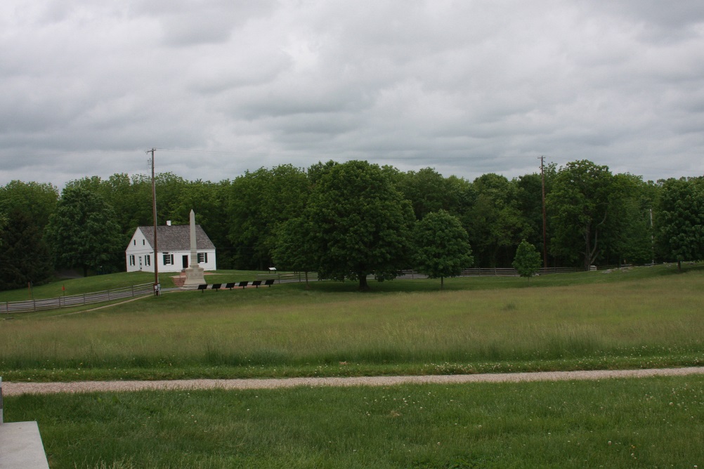
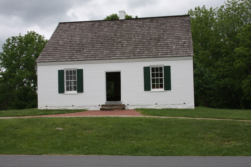
Dunker Church, scene of heavy fighting, Antietam NB
Location: Sharpsburg, MD
Date Taken: May 25, 2022
Taken By: SKM
Photo Dimensions: 1002 x 668
About this photo: ⇒
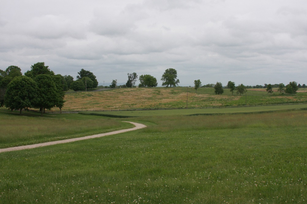
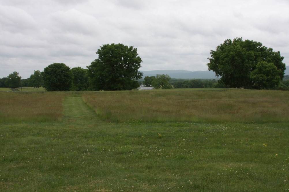
Antietam Battlefield
Location: Sharpsburg, MD
Date Taken: May 25, 2022
Taken By: SKM
Photo Dimensions: 1002 x 668
⇐ About this photo:
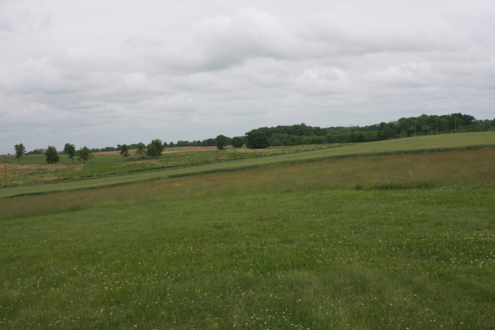
Antietam Battlefield
Location: Sharpsburg, MD
Date Taken: May 25, 2022
Taken By: SKM
Photo Dimensions: 1002 x 668
About this photo: ⇒
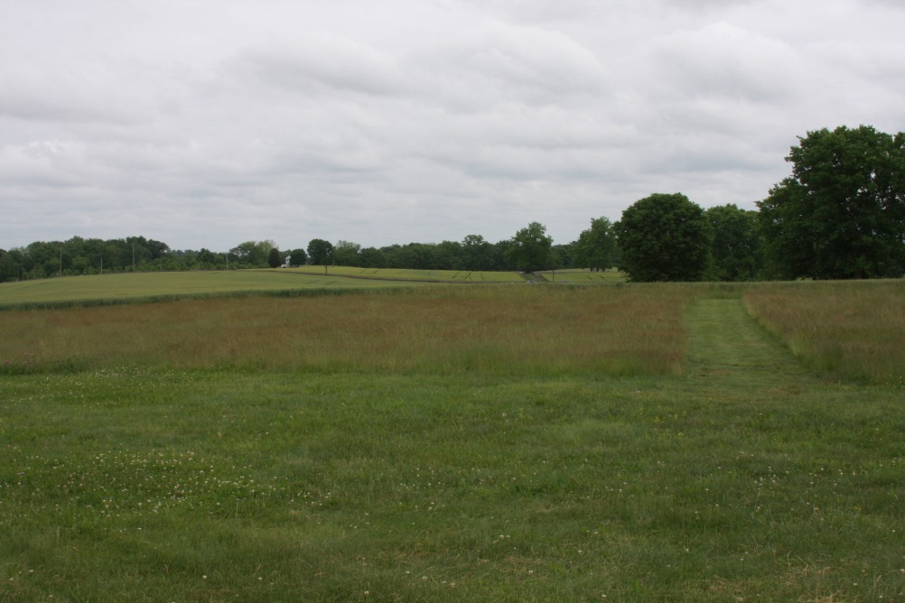
Antietam Battlefield
Location: Sharpsburg, MD
Date Taken: May 25, 2022
Taken By: SKM
Photo Dimensions: 1002 x 668
⇐ About this photo:
Antietam Battlefield
Location: Sharpsburg, MD
Date Taken: May 25, 2022
Taken By: SKM
Photo Dimensions: 1002 x 668
About this photo: ⇒
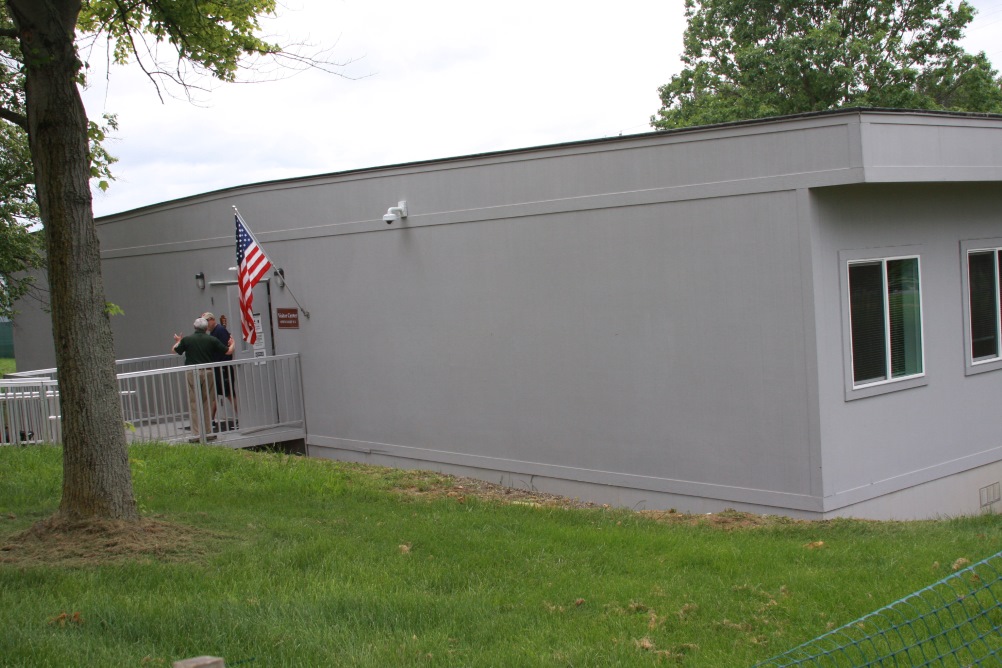
Antietam Temporary Visitor's Center
Location: Sharpsburg, MD
Date Taken: May 25, 2022
Taken By: SKM
Photo Dimensions: 1002 x 668
⇐ About this photo:
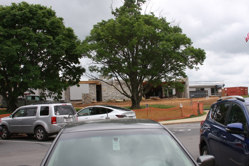
Antietam Visitor's Center construction
Location: Sharpsburg, MD
Date Taken: May 25, 2022
Taken By: SKM
Photo Dimensions: 1002 x 668
About this photo: ⇒
Dunker Church, scene of heavy fighting, Antietam NB
Location: Sharpsburg, MD
Date Taken: May 25, 2022
Taken By: SKM
Photo Dimensions: 1002 x 668
⇐ About this photo:
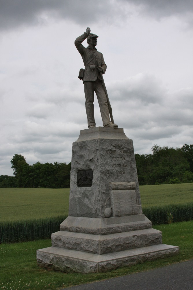
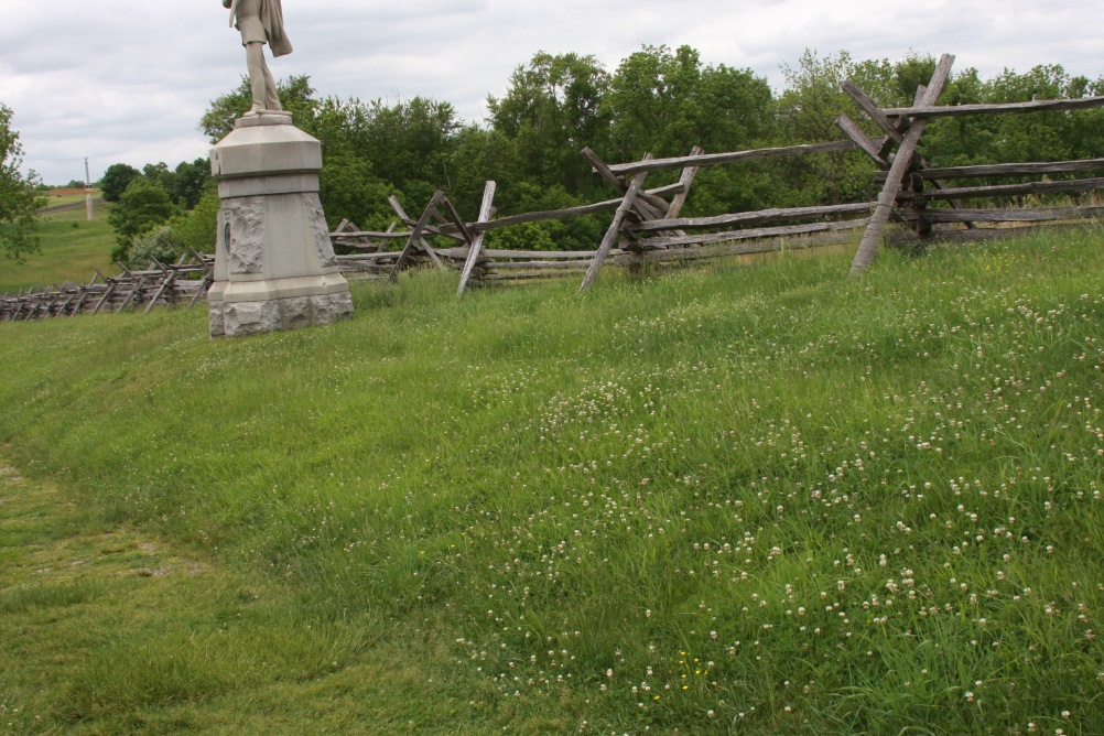
Statue marking 4th Pennsylvania Volunteers, Antietam NB
Location: Sharpsburg, MD
Date Taken: May 25, 2022
Taken By: SKM
Photo Dimensions: 668 x 1002
About this photo: ⇒
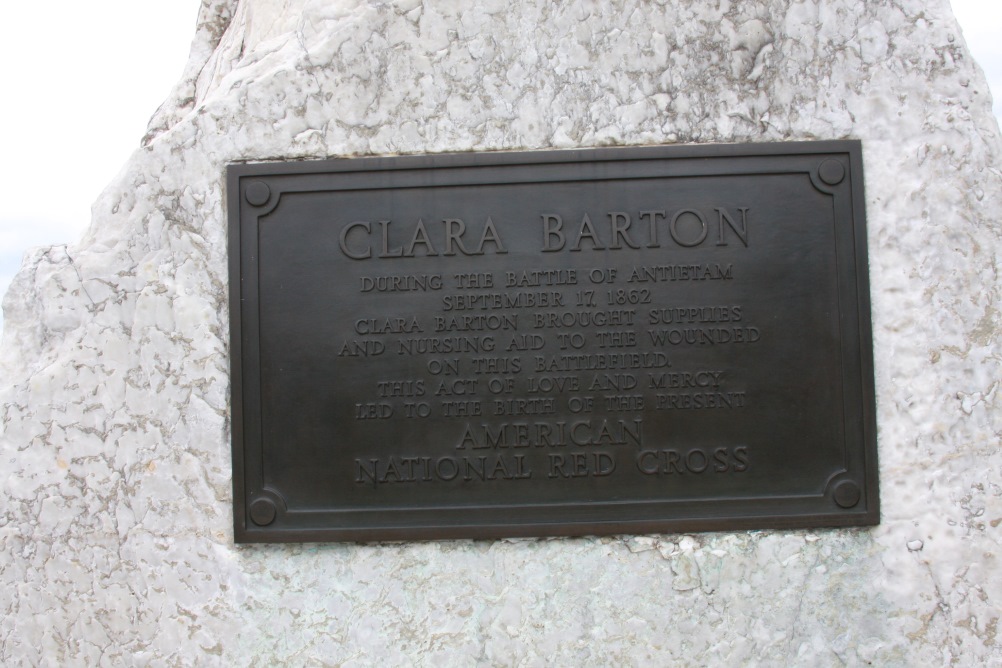
Plaque honoring Clara Barton, Antietam NB
Location: Sharpsburg, MD
Date Taken: May 25, 2022
Taken By: SKM
Photo Dimensions: 1002 x 668
⇐ About this photo:
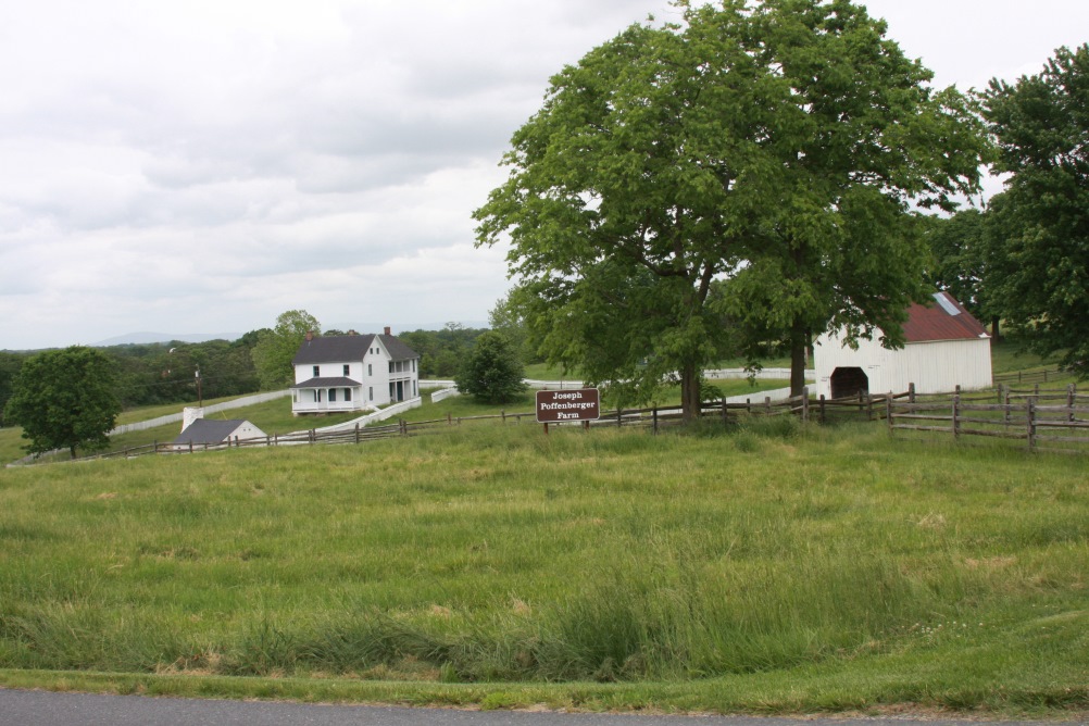
Poffenberger Farm, North Woods, Antietam NB
Location: Sharpsburg, MD
Date Taken: May 25, 2022
Taken By: SKM
Photo Dimensions: 1002 x 668
About this photo: ⇒
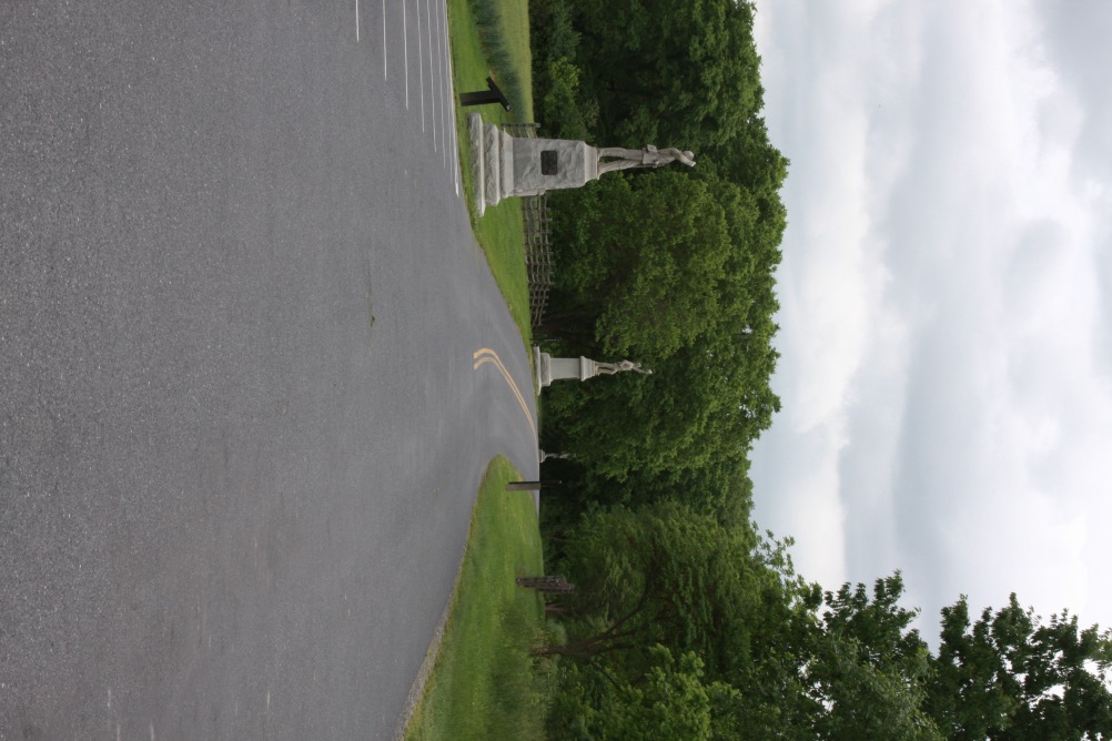
Union position in North Woods, morning of battle, Antietam NB
Location: Sharpsburg, MD
Date Taken: May 25, 2022
Taken By: SKM
Photo Dimensions: 668 x 1002
⇐ About this photo:
Cornfield, scene of savage fighting, Antietam NB
Location: Sharpsburg, MD
Date Taken: May 25, 2022
Taken By: SKM
Photo Dimensions: 1002 x 668
About this photo: ⇒
Cornfield, scene of savage fighting, Antietam NB
Location: Sharpsburg, MD
Date Taken: May 25, 2022
Taken By: SKM
Photo Dimensions: 1002 x 668
⇐ About this photo:
Looking toward Fox and Turners Gaps, preludes to Antietam
Location: Sharpsburg, MD
Date Taken: May 25, 2022
Taken By: SKM
Photo Dimensions: 1002 x 668
About this photo: ⇒
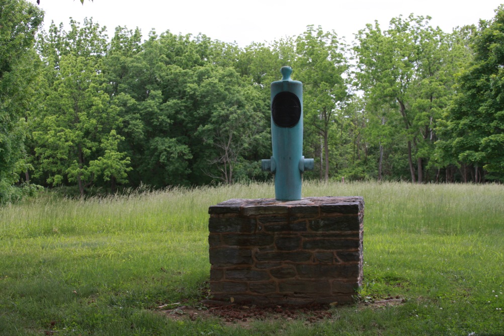
Face down cannon represent locations where generals died, Antietam NB
Location: Sharpsburg, MD
Date Taken: May 25, 2022
Taken By: SKM
Photo Dimensions: 1002 x 668
⇐ About this photo:
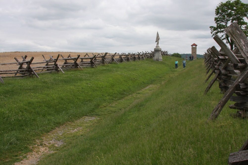
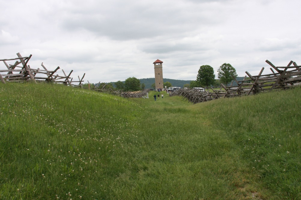
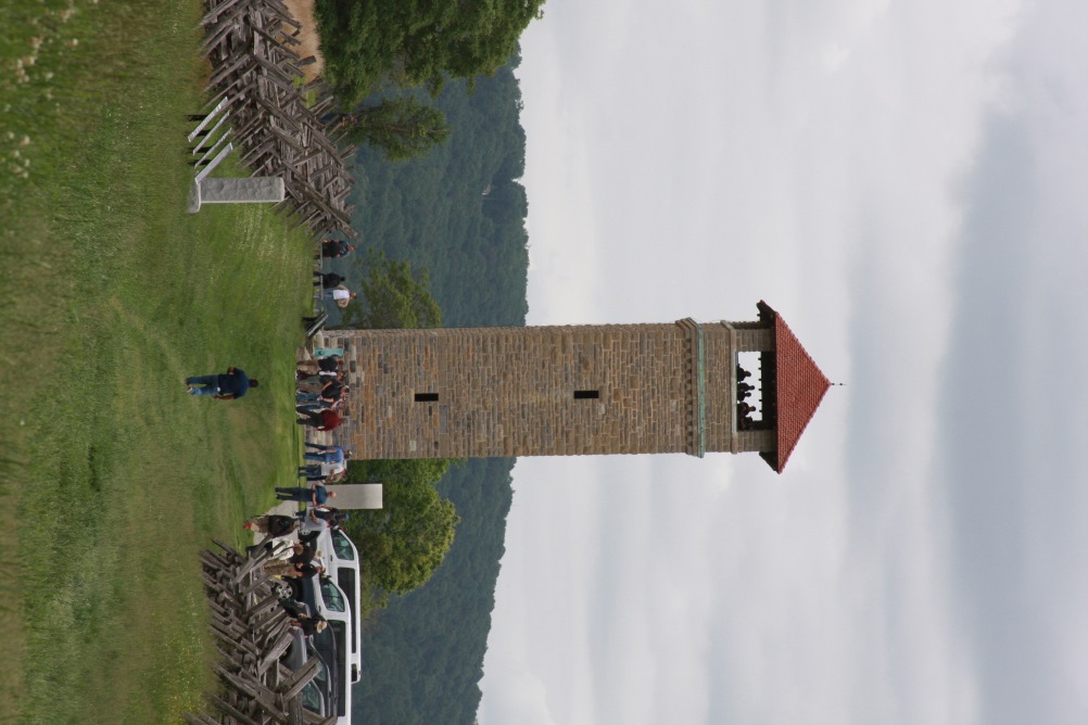
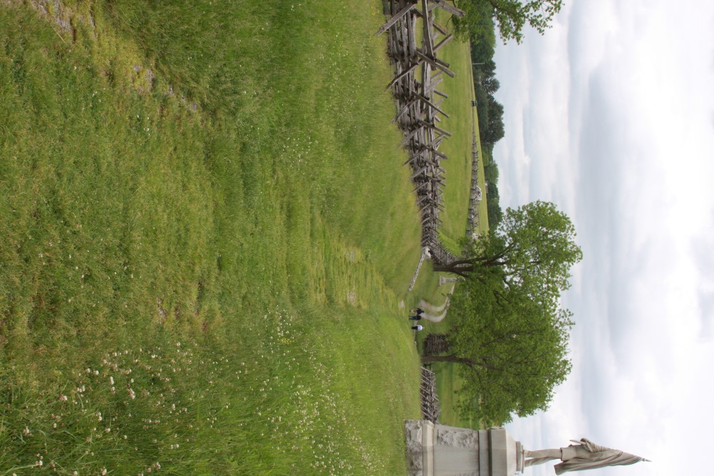
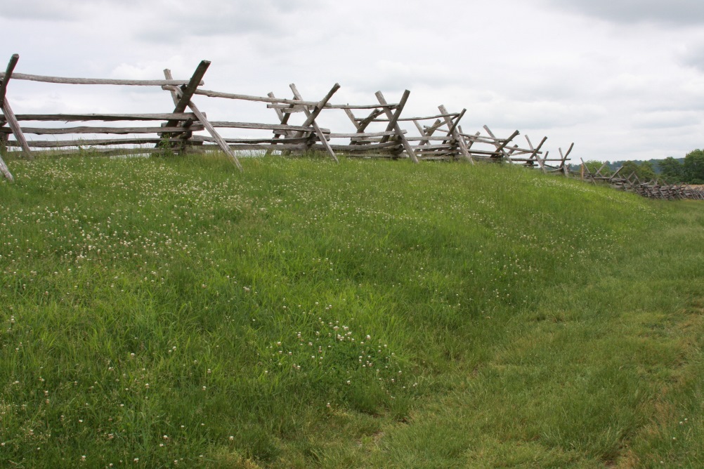
Sunken Road, 'Bloody Lane', Antietam NB
Location: Sharpsburg, MD
Date Taken: May 25, 2022
Taken By: SKM
Photo Dimensions: 1002 x 668
About this photo: ⇒
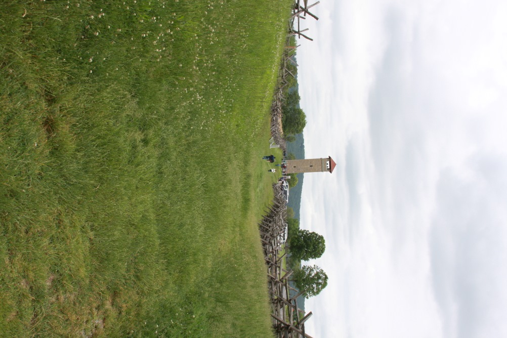
Sunken Road, 'Bloody Lane', Antietam NB
Location: Sharpsburg, MD
Date Taken: May 25, 2022
Taken By: SKM
Photo Dimensions: 668 x 1002
⇐ About this photo:
Sunken Road, 'Bloody Lane', Antietam NB
Location: Sharpsburg, MD
Date Taken: May 25, 2022
Taken By: SKM
Photo Dimensions: 668 x 1002
About this photo: ⇒
Sunken Road, 'Bloody Lane', Antietam NB
Location: Sharpsburg, MD
Date Taken: May 25, 2022
Taken By: SKM
Photo Dimensions: 1002 x 668
⇐ About this photo:
Sunken Road, 'Bloody Lane', Antietam NB
Location: Sharpsburg, MD
Date Taken: May 25, 2022
Taken By: SKM
Photo Dimensions: 1002 x 668
About this photo: ⇒
Sunken Road, 'Bloody Lane', Antietam NB
Location: Sharpsburg, MD
Date Taken: May 25, 2022
Taken By: SKM
Photo Dimensions: 1002 x 668
⇐ About this photo:
Burnside Bridge from Confederate positions, Antietam NB
Location: Sharpsburg, MD
Date Taken: May 25, 2022
Taken By: SKM
Photo Dimensions: 1002 x 668
About this photo: ⇒
Burnside Bridge from Confederate positions, Antietam NB
Location: Sharpsburg, MD
Date Taken: May 25, 2022
Taken By: SKM
Photo Dimensions: 1002 x 668
⇐ About this photo:
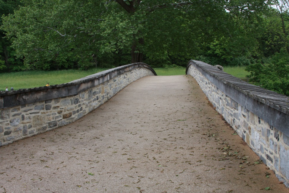
Looking across narrow Burnside Bridge, Antietam NB
Location: Sharpsburg, MD
Date Taken: May 25, 2022
Taken By: SKM
Photo Dimensions: 1002 x 668
About this photo: ⇒
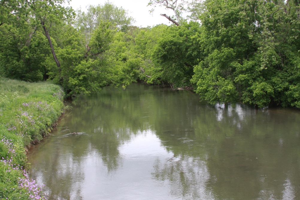
Antietam Creek, which Burnside had to cross
Location: Sharpsburg, MD
Date Taken: May 25, 2022
Taken By: SKM
Photo Dimensions: 1002 x 668
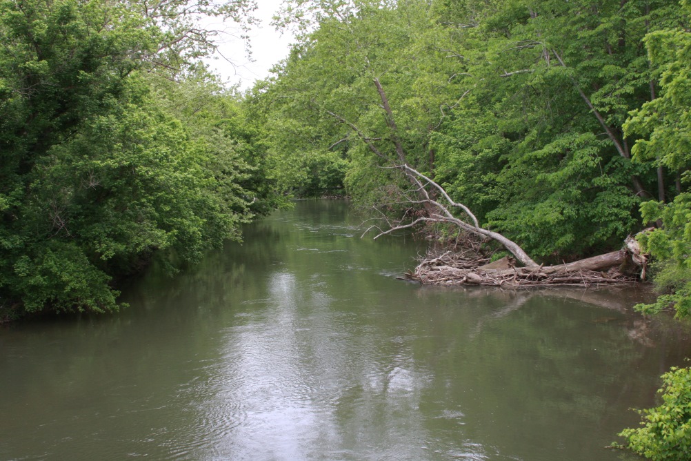
⇐ About this photo:
Antietam Creek, which Burnside had to cross
Location: Sharpsburg, MD
Date Taken: May 25, 2022
Taken By: SKM
Photo Dimensions: 1002 x 668
About this photo: ⇒
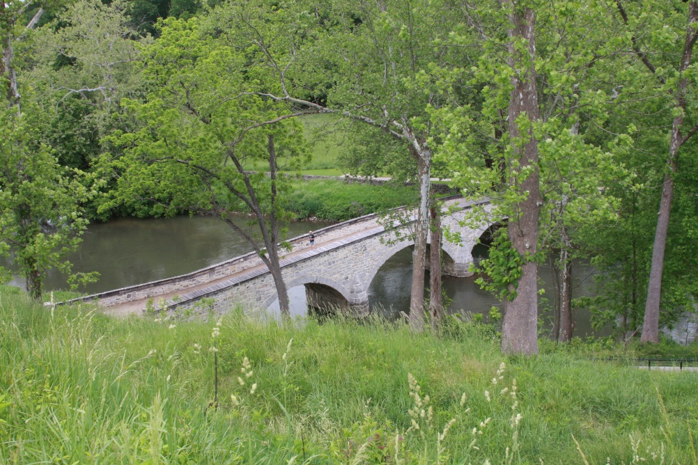
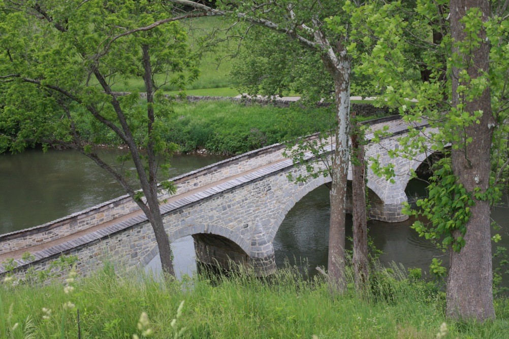
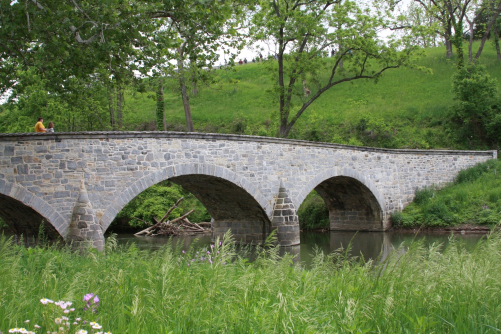
Burnside Bridge from Union side, Antietam NB
Location: Sharpsburg, MD
Date Taken: May 25, 2022
Taken By: SKM
Photo Dimensions: 1002 x 668
⇐ About this photo:
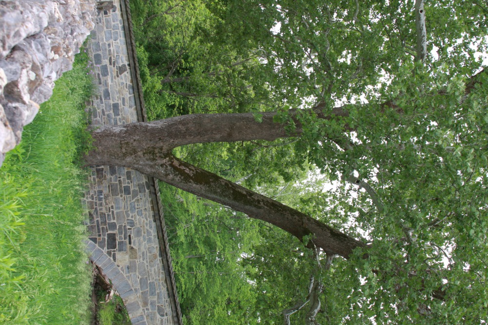
'Witness Tree'' was there at the battle, Antietam NB
Location: Sharpsburg, MD
Date Taken: May 25, 2022
Taken By: SKM
Photo Dimensions: 668 x 1002
About this photo: ⇒
Looking SE from Burnside Bridge, Antietam NB
Location: Sharpsburg, MD
Date Taken: May 25, 2022
Taken By: SKM
Photo Dimensions: 1002 x 668
⇐ About this photo:
Southern end of Antietam Battlefield, final fighting of battle
Location: Sharpsburg, MD
Date Taken: May 25, 2022
Taken By: SKM
Photo Dimensions: 1002 x 668
About this photo: ⇒
Southern end of Antietam Battlefield, final fighting of battle
Location: Sharpsburg, MD
Date Taken: May 25, 2022
Taken By: SKM
Photo Dimensions: 1002 x 668
⇐ About this photo:
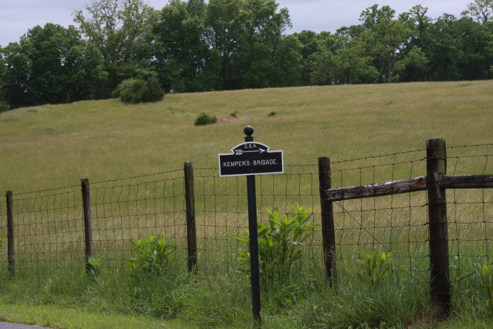
Sample of signs, hundreds of which show unit locations, Antietam NB
Location: Sharpsburg, MD
Date Taken: May 25, 2022
Taken By: SKM
Photo Dimensions: 1002 x 668
About this photo: ⇒
Sample unit location sign, Antietam NB
Location: Sharpsburg, MD
Date Taken: May 25, 2022
Taken By: SKM
Photo Dimensions: 1002 x 668

About this photo:
Fields by North Woods where some Union forces started the day, Antietam NB
Date Taken: May 25, 2022
Taken By: SKM
Photo Dimensions: 1971 x 400

About this photo:
Looking north into the cornfield. Union troops came out from the north here, Antietam NB
Date Taken: May 25, 2022
Taken By: SKM
Photo Dimensions: 1971 x 400
©2023 SKM All text and photos not otherwise credited
