National Park Passport Stamps obtained at this park


Official Park Visit Number: 14 of 433
Parks Remaining: 419
Location: Jacksonville, FL
Arrival Date: Nov 14, 2021
Passport Region: Southeast
Read my blog entry about this location.
See more photos that I took here.
Read my blog entry for this park.
Click on the park name to visit the NPS official park webpage.
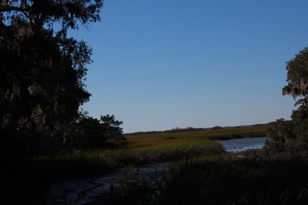
Timucuan Ecological and Historical Preserve (roughly pronounced TIM-a-KWAN) is a rather unusual component of the park system. Its designation alone should hint at that since it is the only park so named. The lands straddle the St Johns River just north of Jacksonville, with most of the land being on the north side. Fort Caroline National Memorial is located on the south side and holds the Visitor's Center for the Preserve.
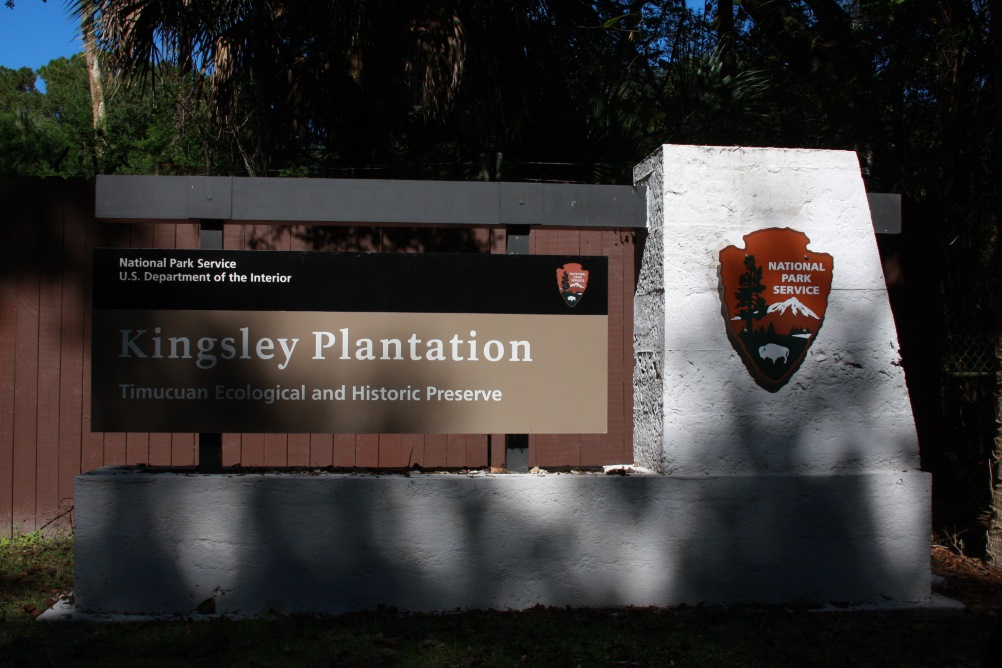
Most of the land north of the river is inaccessible except via boat. One road does lead into the park from the west, dead-ending at a trail head (there appears to be an nice trail system in the northwestern section of the park). Another road heads north ending at the Kingsley Plantation. I took this route in my visit, though one day I would like to return and hike some of the trails.
Kingsley Plantation existed in the late 1700s and early 1800s. Under Spanish rule, slave life was not as harsh as under British and American laws. Zephaniah Kingsley used a "task" system where slaves had a task list each day. When complete, they could do as they pleased, often providing skills to others in the community for pay. It was often less harsh than the dawn-to-dusk system employed to the north but it was still slavery. Kingsley ultimately married one of his slaves, who helped manage the plantation, and years later owned her own land - and slaves.
There is a small Visitor's Center and gift shop in one of the outbuildings on the plantation lands. An interesting walking tour of the plantation property is available on cell phones, with written information about each point (marked by a number) along with audio spoken from the point of view of someone who lived there. In addition, outside of the plantation there is a driving tour around the mostly dirt road that encircles Fort George Island, again available on cell phones, with numbered signs marking each stop. This tour covered both the natural features and human history of the island.

©2023 SKM All text and photos not otherwise credited