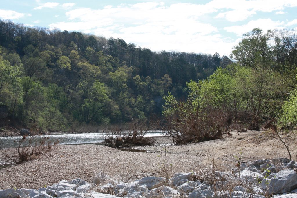
April 10, 2023 @ 09:00 CDT
Site Visit #84
Should every river eventually be dammed?
According to the Park Service video shown at the visitor centers for Buffalo National River, in the early 1960s, Arkansas Congressional Representative James Trimble said they should. He was a proponent of constructing some dams along the Buffalo River in the Ozark Mountains of northern Arkansas.
The United States had been on a dam-building spree and the Buffalo River was now targeted. Proponents argued the economic benefits of the dams including hydroelectric power and flood control. Opponents simply argued the loss of the current environment and the disruption of the ecosystem. Perhaps a seminal moment in the pro- and anti-dam discussions came when Supreme Court Justice William O. Douglas took a multi-day canoe trip along the river, endorsing the idea of keeping it as is.
In the 1966 mid-term elections, Trimble lost his seat to Republican John Hammerschmidt, who introduced a bill to provide federal control of the river. Arkansas Senator Fullbright, a former proponent of the dams, submitted a similar bill in the Senate.
In 1972, a new designation was established by the National Park Service – the National River. The Buffalo was immediately designated as the first National River and protected for the future.
I think of the Ozarks as America’s forgotten mountains. Ask about scenic mountains and most people will name the Appalachian Mountains or the Rockies or the Cascades. Few will mention the Ozarks, yet they offer stunning vistas, deep forests, hiking and camping, and of course, the Buffalo River snaking through from west to east.
My first exposure to the Ozarks was in 1995, returning from a vacation in Arizona. I was so taken by the area that two years later, we spent over a week of vacation time visiting the area. During that visit, we primitive camped, day hiked, and drove to various historic or scenic areas.

On this trip, I only had one day to visit the area. My first stop was at the Tyler Bend Visitor Center, located just a bit east of the center point of the National River lands. From here, I followed what the map showed simply as backroads. They quickly turned into gravel and dirt roads, which I didn’t mind. Then one of them crossed a stream. No bridge! It simply drove through the water. In my Camry, that option became a big “No!”, but there was nowhere to turn around on the narrow dirt road. So, I backed up for almost a quarter of a mile until I could turn around!
I let the GPS figure out how to get me to the next visitor center at Buffalo Point, which it eventually succeeded in doing. This center was much smaller than Tyler Bend and ran the same video. I glanced around and then moved on. My next marked stop was simply labeled as “Red Bluff Overlook”. I found myself on dirt roads again and arrived at the spot finding no signs and just a small pull-off by the road. I had lunch while there and saw not one other car in the 45 minutes I visited the spot.
Apparently, there is a small, steep trail to a point where the view is unobstructed. I didn’t see it and found the view from the pulloff sufficient.
I would have liked to spend more time in the Ozarks but had reservations for the night in Fort Smith. It is certainly on that list of places to one day return.
Steve