There are currently 423 official units of the U.S. National Park Service, including sites in all 50 states, the U.S. Virgin Islands, Puerto Rico, American Samoa, and Guam! Obviously, some sort of plan will be necessary if I am to visit all of them in a reasonable period of time – that being “the rest of my life”.
The first step was to simply determine where every one of these sites was located. Some are pretty simple: a building, or a battlefield, or a park with clear boundaries. Others are a bit harder: the Appalachian National Scenic Trail, which is a thin line stretching 2100 miles from Georgia to Maine, or the Manhattan Project National Historical Park, with locations in Tennessee, New Mexico, and Washington.
The NPS website itself is a bit tricky in that it shows both official sites AND other sites it manages. There is, however, one page that does list just the 423 official sites. But just to keep things a bit inconsistent, the names on that page list don’t always match with the individual sites as listed by state. Nonetheless, I was able to compile an accurate ( believe) list of 423 places to visit.
In addition, the National Park Foundation (which I support) publishes a map annually showing all sites. The NPF is a non-profit organization that helps support the National Parks when federal funding falls short. Check them out at www.nationalparks.org (note that the official National Park Service website is www.nps.gov).
Finally, I found a website for the “National Park Travelers Club“, a group of people with interests in visiting parks similar to mine. They have amassed a great website of information about almost every official park site, and many other sites that may be of interest to like-minded people. They also have a great base of information on Passport stamps.
Passports? To visit a National Park?

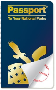
Not that type passport. The National Parks passport was an idea dreamed up by Eastern National, a vendor and partner of NPS. Eastern National runs many of the gift shops in the parks. In 1986, they conceived of the idea of a small booklet the size of a traditional passport (though much thicker). In it are places to get a stamp from each park. The stamps are not like stick-on postage stamps but rather are rubber stamps that looked like a post office cancellation stamp, with the park name and current date. The idea was to collect a stamp from each park visited.
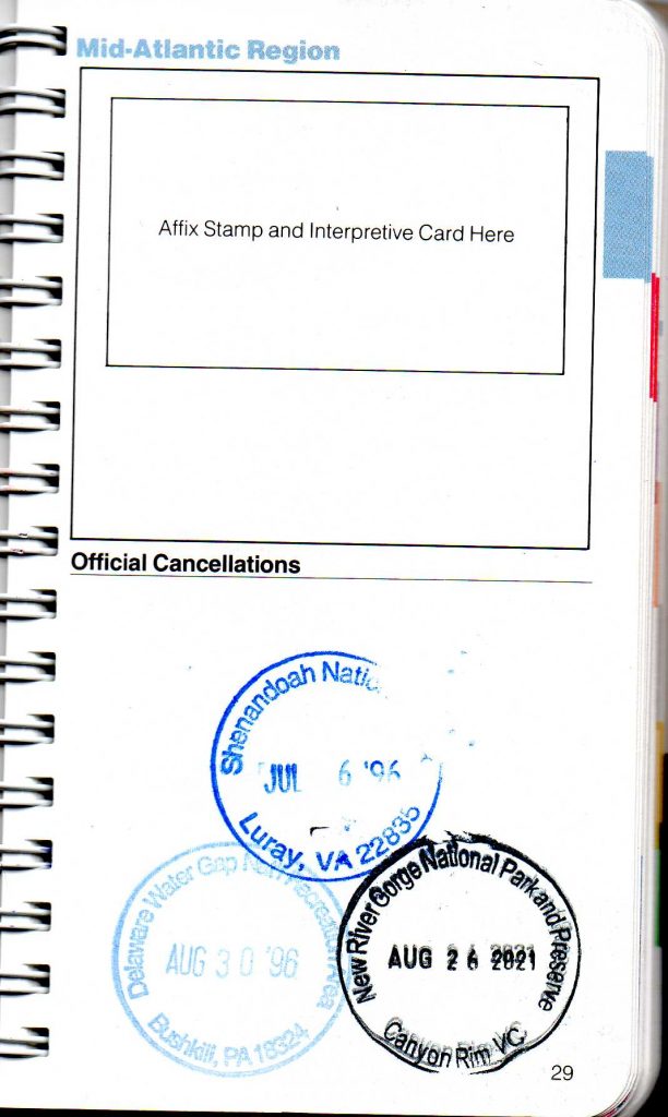
Here is a page from my own passport. It has stamps back to July 1996 (Shenandoah National Park). When passport books get full, one simply buys another and starts filling it. There are also larger-sized books with more room for stamps, though they are bulkier to carry around.
Armed with information from all of these sources, I was able to compile a spreadsheet with all 423 sites listed. I organized them by region and state. There are two options for what is a “region”. The park service breaks the country into seven regions, while the Passport book breaks it into nine, each with its own color (which is also the ink color on the stamp pad at each location). I chose to use the Passport regions. When a unit spanned multiple states, I tended to use the state where the headquarters were located unless that made no sense, in which case I chose a visitor’s center in one of the states.

With a list of parks and locations now ready, I could move on to the next step: making a plan.
Steve